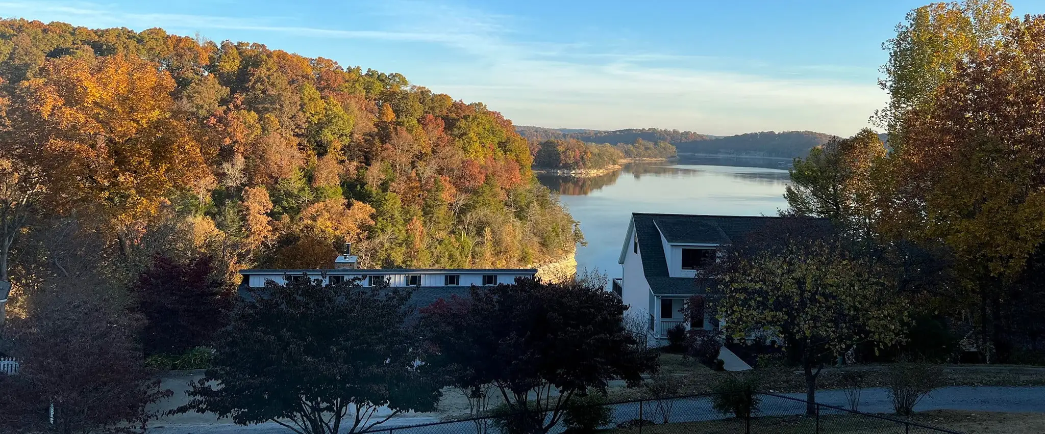
Old hills.
Clear water.
Lake of the Ozarks, the Buffalo National River and Northwest Arkansas, written up by people who check the river level before they load the canoe.
The Ozarks don't do a lot of shouting. The rivers run clear because they come up out of the rock cold, the bluffs were here long before anybody's map, and the best swimming hole is usually the one past the second gravel bar.
We cover three corners of it closely. Every hour, fee, float time and lake level on this site gets checked against the source before it goes up, and each guide tells you when it was last checked.
How we put these guides togetherPick a corner
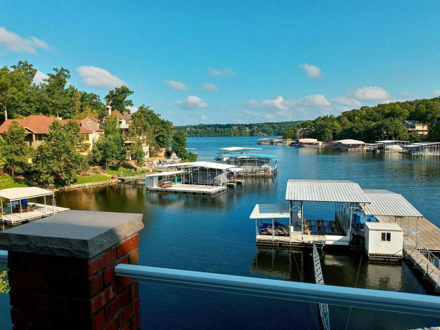
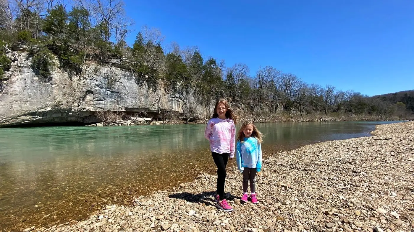
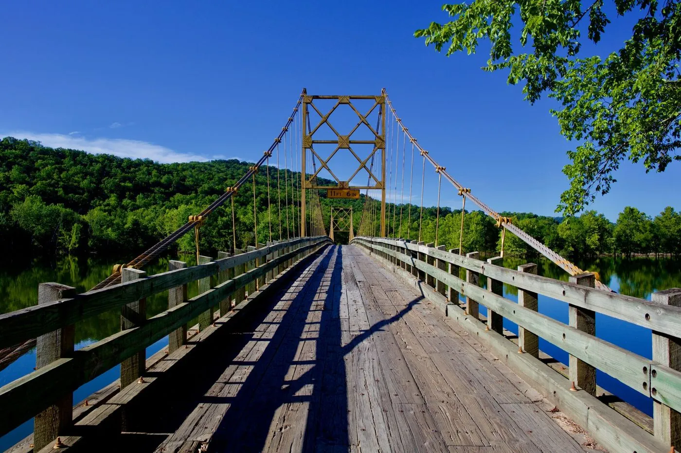
A lake built for long days on the water, a national river with no dams on it, and a stretch of hill country that grew up fast.
Check the water first
National Weather Service, USGS and Ameren numbers, pulled every hour and put in plain English: what the level means before you load up.
All lake and river levels| Lake or river | Now | Compared to | Last 30 days | Notes |
|---|---|---|---|---|
| Lake of the Ozarks | 657.5 | 2.5 ft below full pool | ||
| Truman Lake | 705.1 | 0.9 ft below normal pool | The Corps of Engineers lake just upstream. Water released from Truman Dam flows into the upper end of Lake of the Ozarks. | |
| Table Rock Lake | 910.2 | 6.8 ft below normal pool | The big Corps lake by Branson. | |
| Beaver Lake | 1,111.4 | 9.0 ft below normal pool | Northwest Arkansas's lake, upstream of Table Rock on the White River. | |
| Buffalo River at Ponca | 38.9 | cfs, NPS safe limit 1,600 | Under the safe limit. For low water, ask an outfitter. | |
| Buffalo River near St. Joe | 150 | cfs, NPS safe limit 8,000 | Under the safe limit. For low water, ask an outfitter. |
Lake levels in feet above sea level: Lake of the Ozarks from the National Weather Service gauge at Bagnell Dam, Truman Lake from USGS. River flow in cubic feet per second from USGS.
Good in November

Christmas lights at the lake
Drive-throughs, the Strip, and the shrine in Laurie that locals plan around.
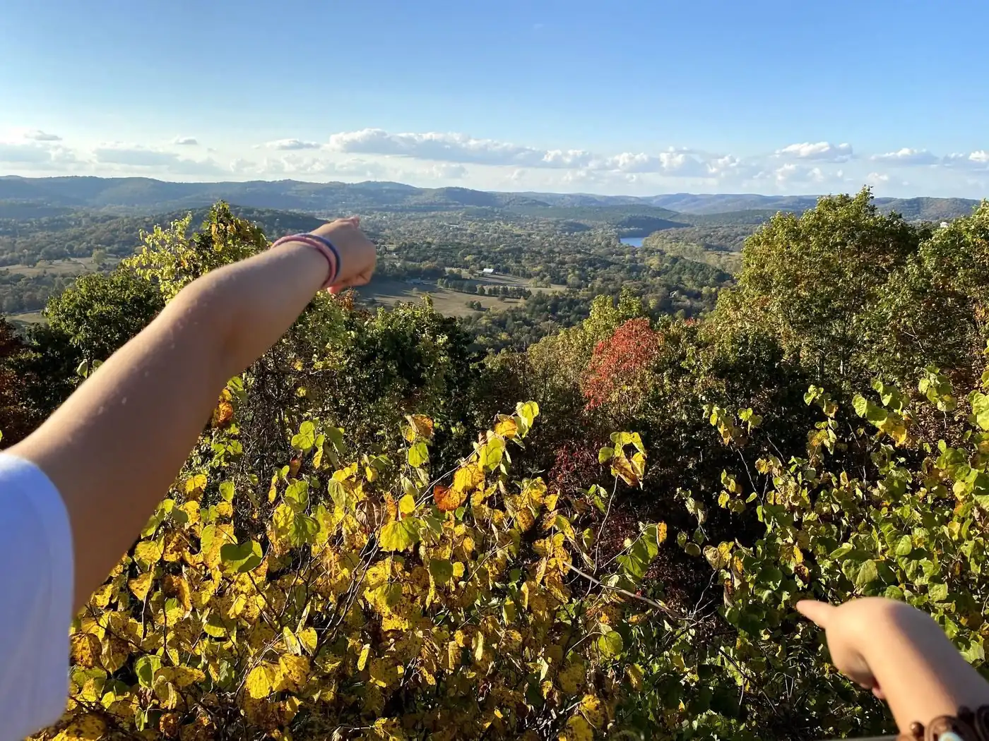
The overlooks open up
With the leaves down, the view off the castle bluff at Ha Ha Tonka goes for miles.
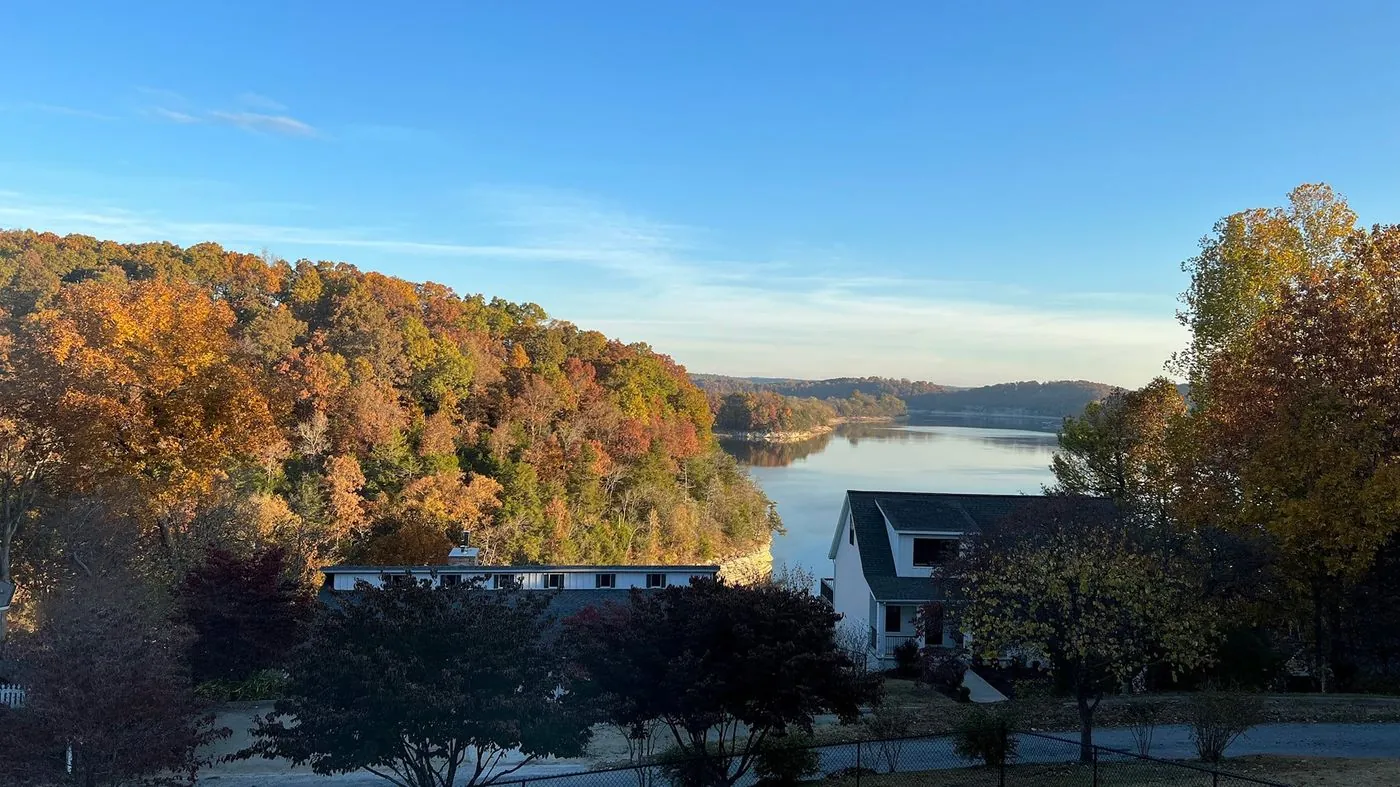
Cabin season on the Buffalo
Cold nights, quiet weekdays, and nobody on the gravel bar but you.
Christmas lights in Northwest Arkansas
Lights of the Ozarks on the Fayetteville square, plus the drive-throughs worth the line.
What are you here for?
Browse every guide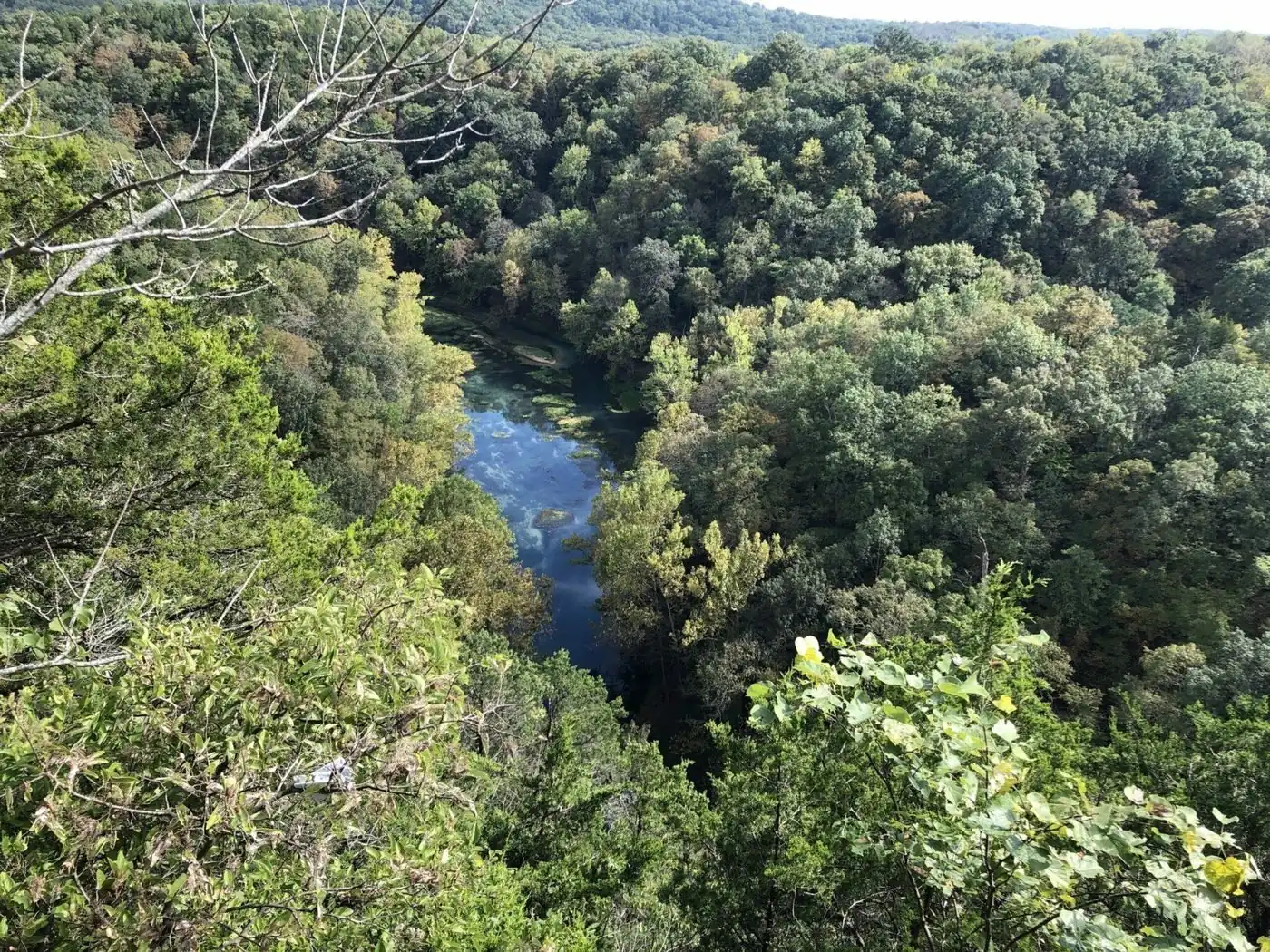
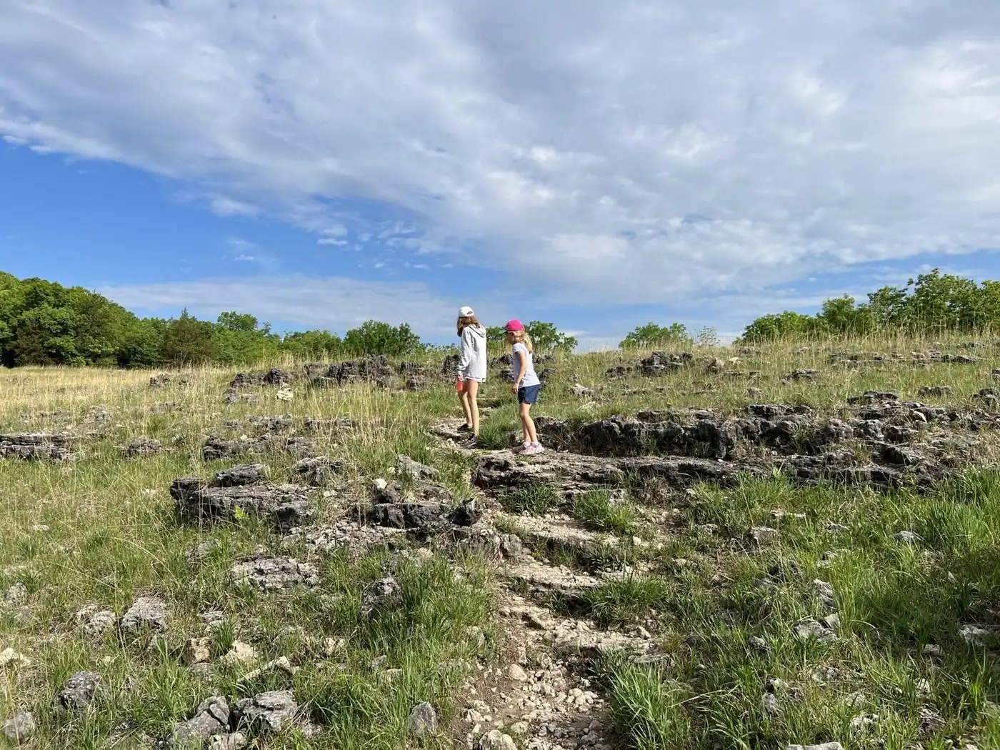
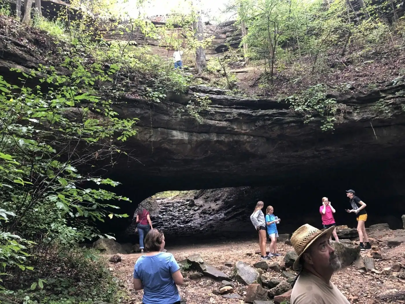
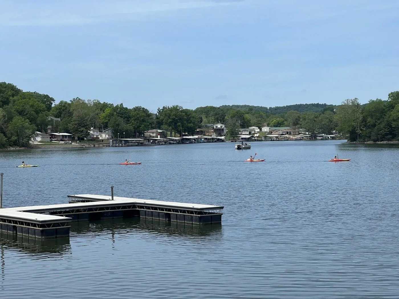


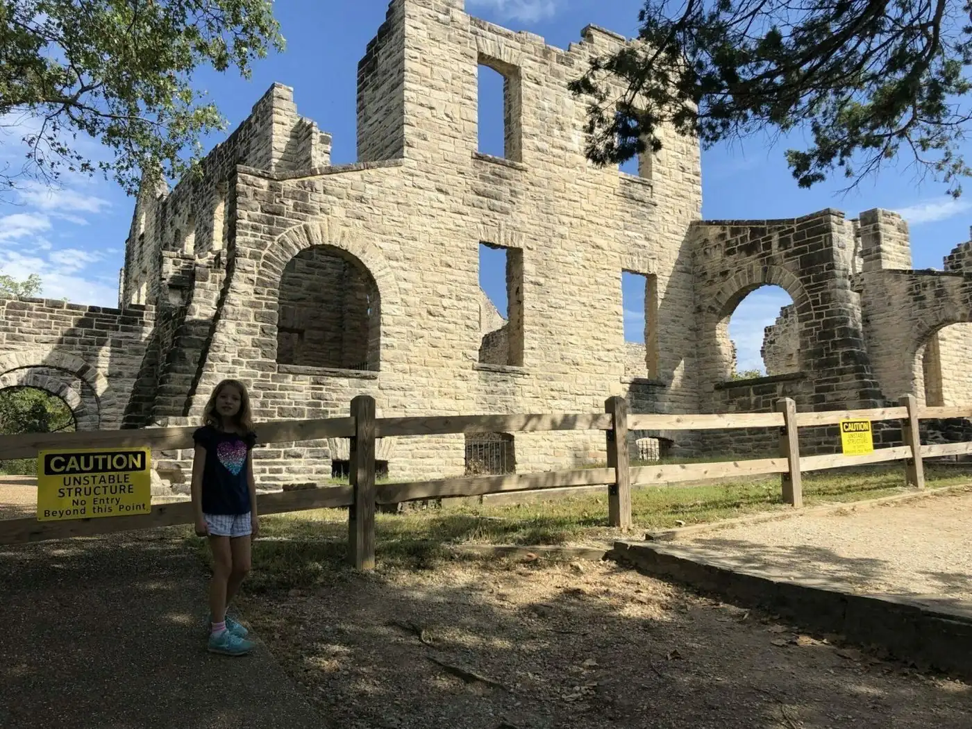
Ha Ha Tonka State Park
Castle ruins on a bluff, a spring that runs blue-green, and a stone bridge you can walk under. Most people see the castle and leave. Give it the whole afternoon.
- Size
- 3,750 acres
- Spring rank
- 12th in Missouri
- Entry
- Free
Facts here come from the people who keep them, and every new guide shows when we last checked.
- National Park Service
- USGS
- Missouri State Parks
- Arkansas State Parks
- Ameren Missouri